
3 specialized companies with long track record in their respective fields of operation have joined forces to make your geothermal exploration project a success.


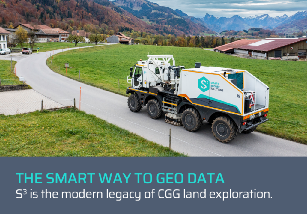
Seismic data acquisition is the first of three phases of seismic exploration. With the help of a seismic source, energy is sent into the ground in the form of a seismic wave. There it propagates and is reflected at rock boundaries. The reflected waves are then recorded by receivers (geophones or hydrophones) located at the surface.
Services:
- Seismic data acquisition in all kinds of environment, from urban to desert, including shallow water
- Near surface investigations
- Non-seismic methods such as MASW, EM, MT, Gravity, GPR, Deep CSEM
Highlights:
- 11x T65 Vibrators on 8×8 Renault truck, 62.000 lbs
- 25.000 Sercel WiNG MEMS with QuietSeis®
- Exclusive CGG licenses on SRS®, HPVA®, Emphaseis®, Cleansweep® and Broadband®

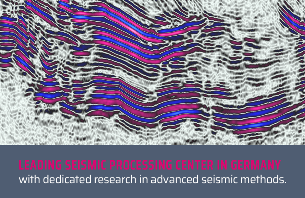
Seismic data processing is the second step in seismic exploration and is used to process the raw data recorded during the survey and convert it into an interpretable result. Using complex mathematical algorithms, noise is removed, signals are enhanced and migrated to their true position in order to obtain a clear image of the geological structures in the subsurface. This processing makes it possible to interpret reflections more accurately and create detailed maps or volumes of geological layers in the subsurface.
SERVICES:
- Seismic data processing
- Depth imaging
- Reservoir characterisation
- Software development and research
HIGHLIGHTS:
- proprietary CRS, RTM and FWI development
- over 150 years of combined processing experience
- Reveal® processing software and 50 TFLOP computing capacity onsite

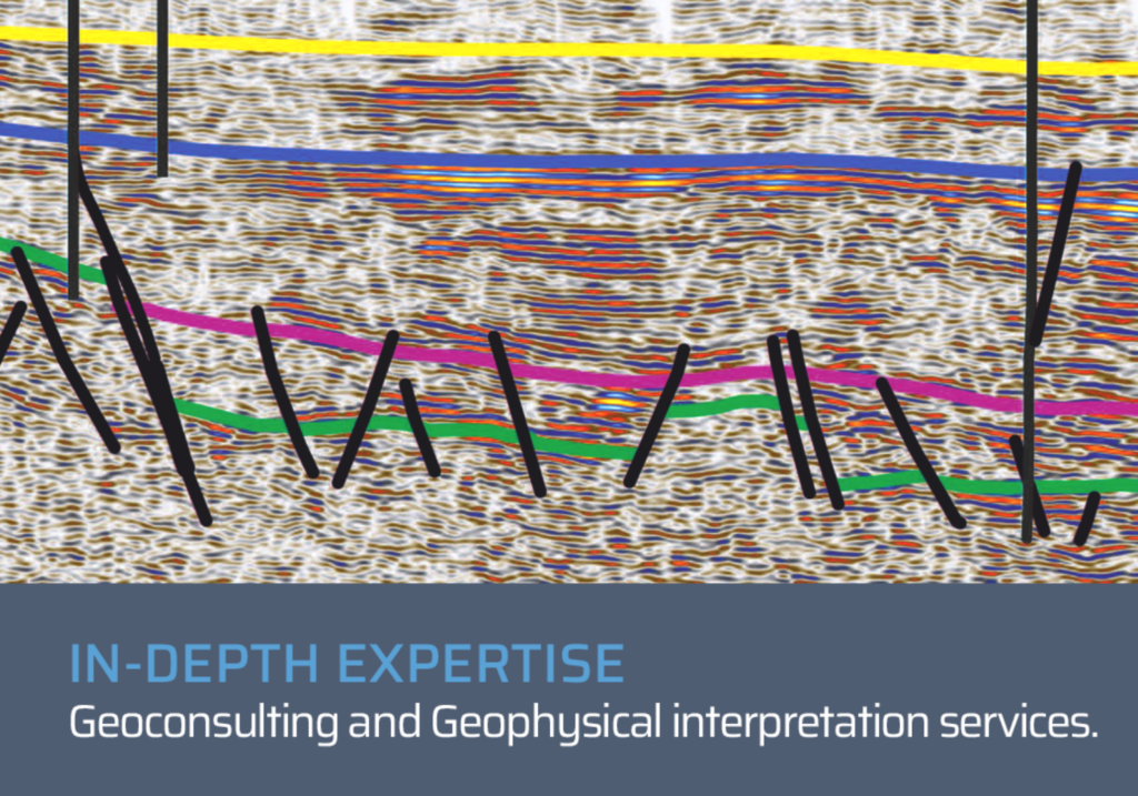
The interpretation of seismic data is the final step in seismic exploration. The processed seismic data is analysed with regard to geological structures as well as hydrological and (petro)physical properties of the subsurface. Specialized software is used to identify reflection patterns, stratigraphy and possible geothermal sites. Seismic interpretation is crucial for determining the exact location of boreholes.
SERVICES:
- Seismic interpretation
- Attribute analysis
- Structural modelling
- Property modelling
- Seismic digitalization, from tiff to sgy
HIGHLIGHTS:
- Petrel® and OpendTect® software
- Horizon interpretation
- Fault interpretation and Facies interpretation